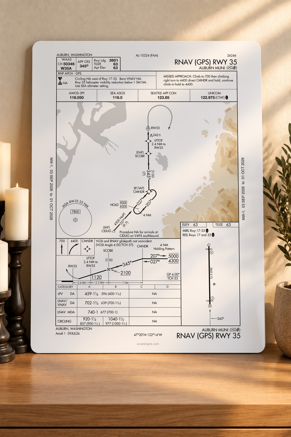
Auburn S50 RNAV (GPS) RWY 35 Approach Plate
The RNAV (GPS) approach to Runway 35 at Auburn Municipal, Auburn, Washington, from FAA chart cycle 2609, rendered at full plate resolution onto aluminum, matte white.
$85.00
Made to order · about ten days to your door
Size
Quantity
1
Spec
- Coords
- N47°19.7' W122°13.6'
- Elev
- 63'
- Freq
- CTAF 122.975
- Proc
- RNAV (GPS) RWY 35
- Cycle
- FAA cycle 2609 · 03 SEP – 01 OCT 2026
- Material
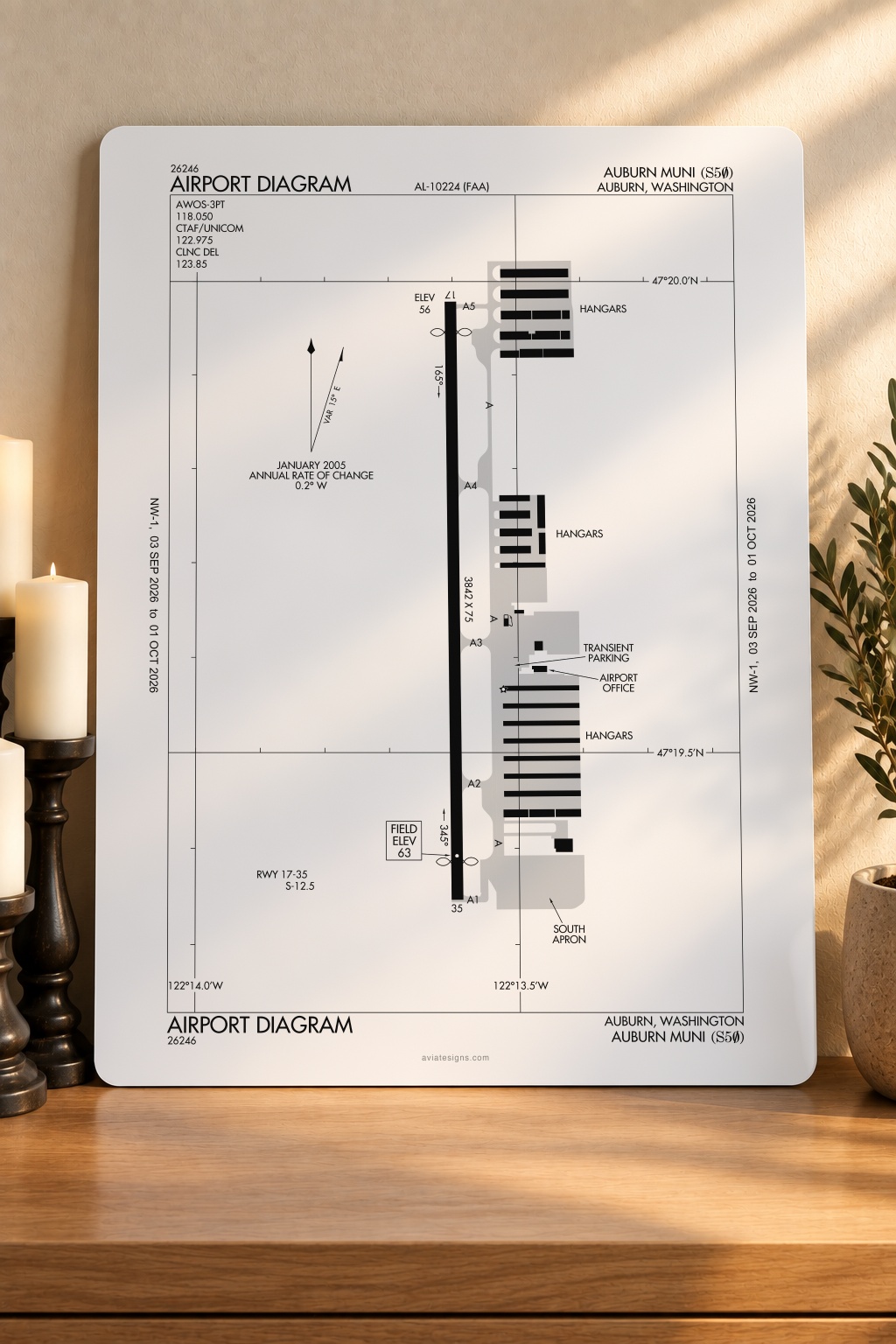
- 3 mm aluminum sign (aluminum faces over a solid core), matte white finish
The FAA chart as published for this cycle. Wall art, not for navigation.
Printed to order · about ten days to your door · free shipping in the US
15-day satisfaction guarantee
More from Auburn S50
See all 2 at S50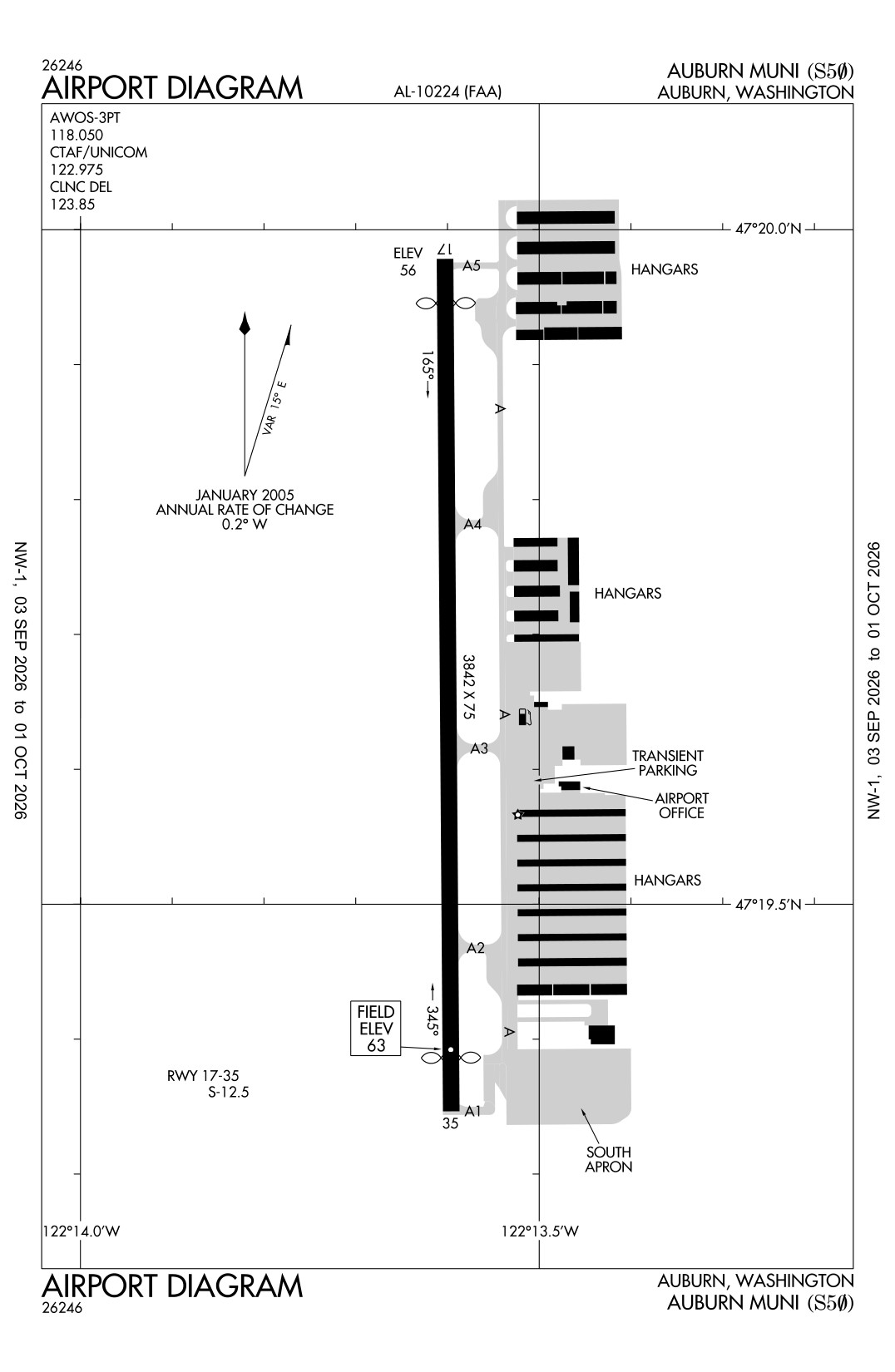
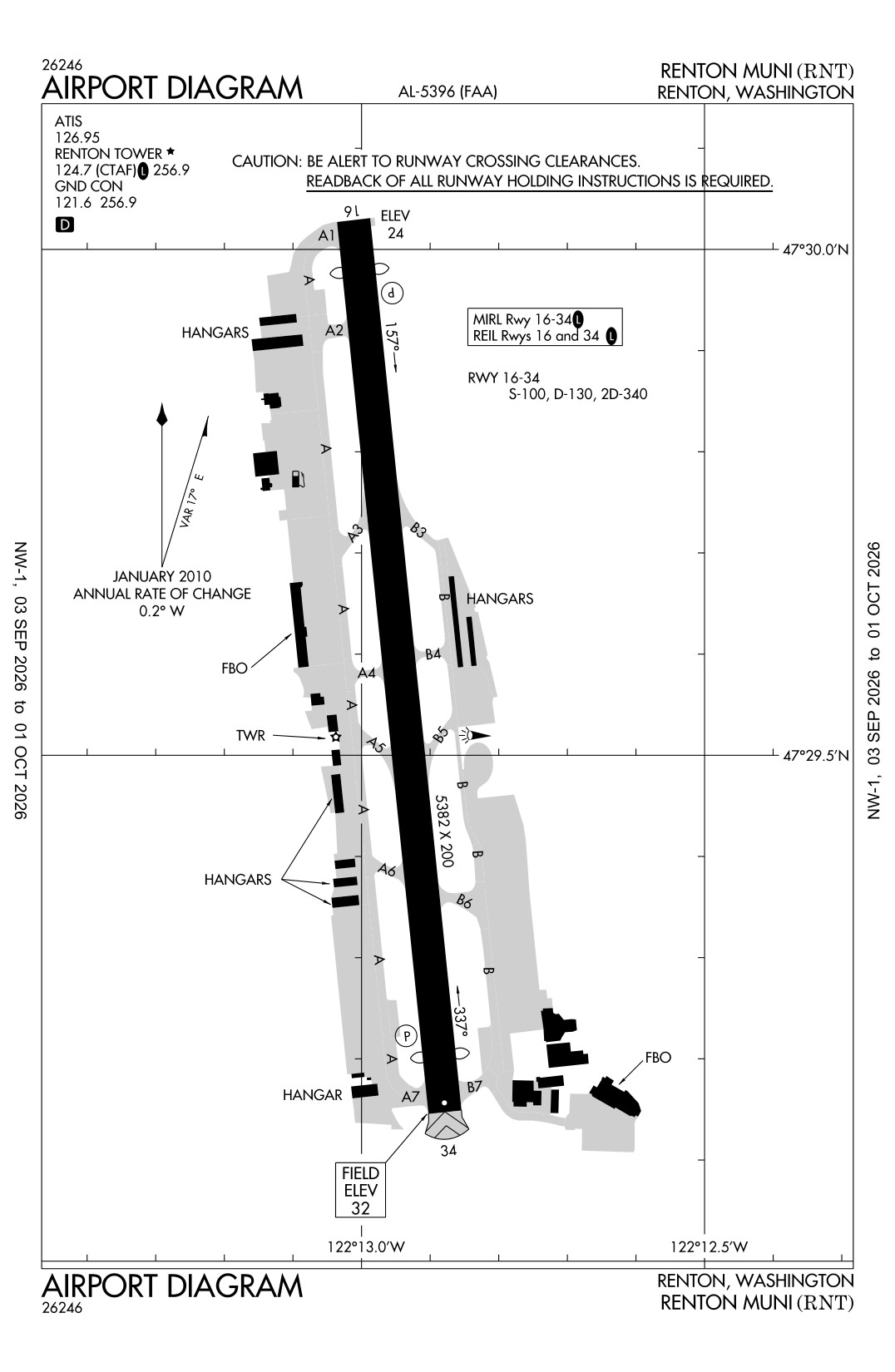
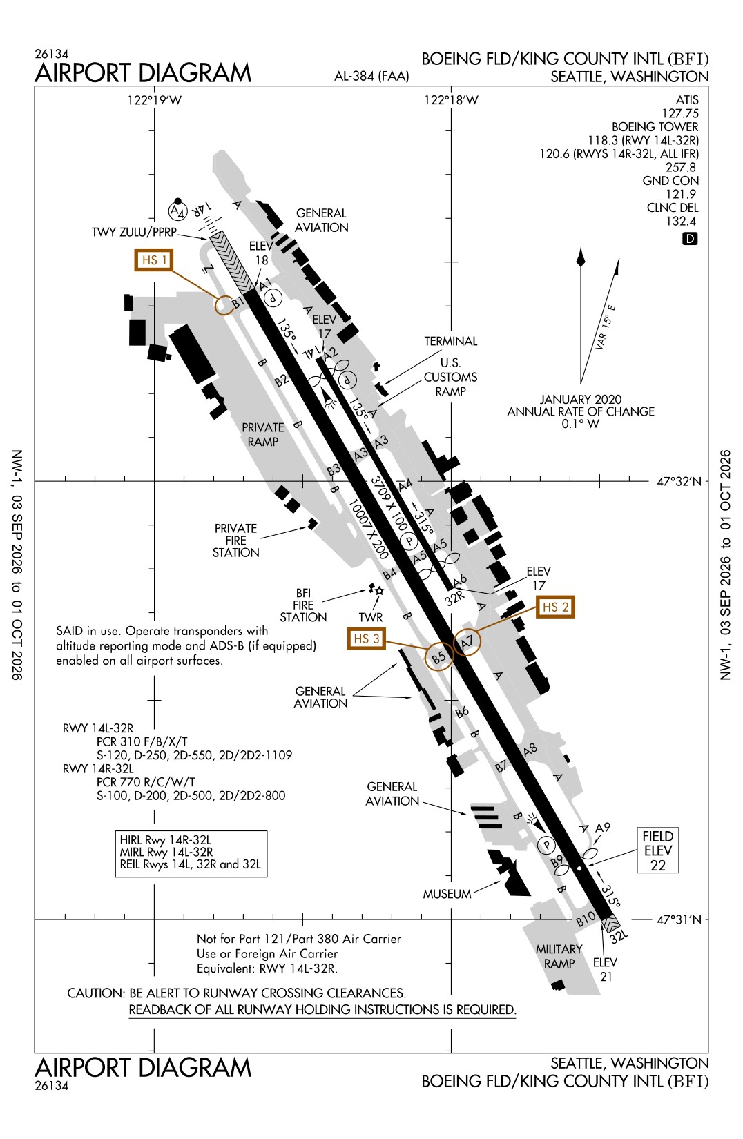
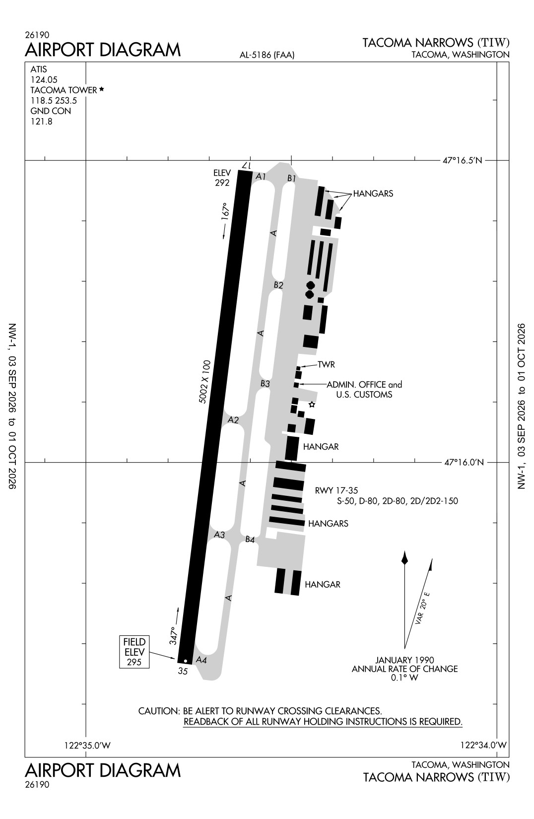
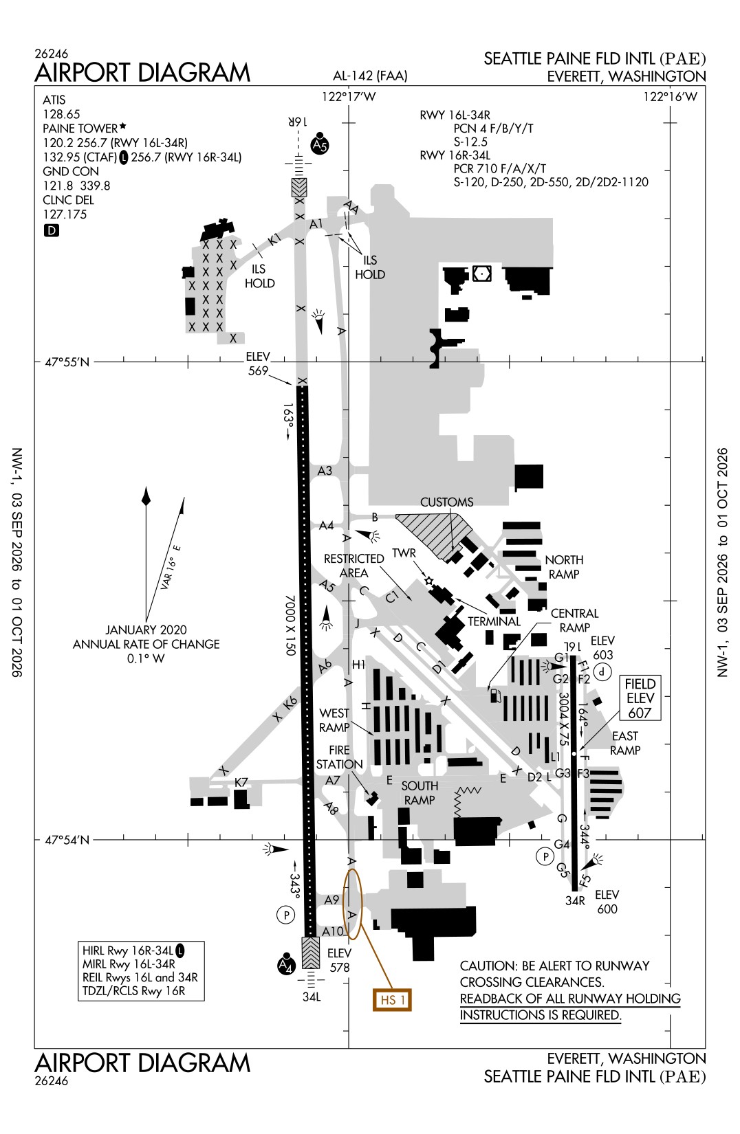
Nearest fields
Straight-line distance from S50.